

An earthquake measuring 5.02 Richter tests the readiness of sustainable infrastructure north of the city of Dahab
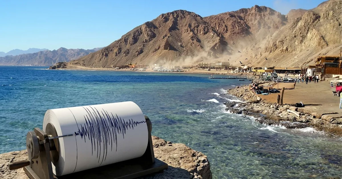

An earthquake measuring 5.02 Richter tests the readiness of sustainable infrastructure north of the city of Dahab
It has become known in recent decades that any earthquake imposes its presence in human consciousness, and raises questions about the extent of the sustainability of the infrastructure and the degree of its preparedness for any danger that threatens the safety of humans and their planet, and this is within the framework of the eleventh goal of the Sustainable Development Goals: sustainable cities and local communities.
The seriousness of any earthquake depends on interrelated factors, most notably the strength recorded by the Richter scale, the depth of the epicenter, its distance from population centers, the nature of the soil, and the extent to which buildings adhere to earthquake-resistant construction standards.
And this is what The Earth Guards Foundation highlights in the lines The following, through the earthquake that occurred today, Wednesday, north of the city of Dahab in South Sinai, and the extent of its repercussions in the efforts concerned with achieving the sustainable development goals: So keep reading.
Strong earthquake 5.02
The National Institute for Astronomical and Geophysical Research announced that an earthquake measuring 5.02 on the Richter scale was recorded on Wednesday, November 11, 2026, 70 kilometers north of the city of Dahab, according to data recorded at the Institute’s National Seismic Network stations.
The institute explained in an official statement that the earthquake occurred at 11:24:53 a.m. local time, and its epicenter was at latitude 29.30 degrees north and longitude 34.92 degrees east, at a depth of 26.22 kilometers below the surface of the Earth.
And about that The event: The National Institute for Astronomical and Geophysical Research confirmed that it had received information indicating that citizens felt the earthquake, and that no information had been received indicating any loss of life or property until the time the statement was issued, which is consistent with its moderate strength and depth.

Seismically active zone
In order to understand what happened, we must know that the region Gulf of Aqaba and the Red Sea are areas that witness frequent seismic activity due to the interaction of tectonic plates in this geographical area. From time to time, tremors of varying strength are recorded, some of which pass without the residents feeling them.
Therefore, stronger tremors require preparedness and careful follow-up, which is provided by continuous monitoring of national networks. It determines the location, strength, and depth of the earthquake It takes a short time and makes the information available to the public and concerned parties.
Sustainable Development Goal 11
On the other hand, it appears to us that an earthquake – no matter how strong it is on the Richter scale – remains closely related to the eleventh goal of the Sustainable Development Goals: sustainable cities and local communities. This goal includes a clear goal:
- Reducing human and economic losses resulting from natural disasters.
- Protecting the groups most at risk.
- Strengthening cities’ capacity to prepare and respond.
From this angle, seismic monitoring networks represent one of the basic pillars for achieving this goal. It provides scientific data on which standards are built Construction, emergency plans, and urban planning decisions, especially in coastal cities and expanding areas.

Awareness first
It will appear to any follower that the speed with which the National Institute for Astronomical and Geophysical Research announced the earthquake data and its details reflects – in one way or another – the importance of transparency in disseminating correct information, which is an important element in building community confidence and enhancing awareness of safety procedures.
Accordingly, safety experts emphasize that earthquake preparedness must be based on accurate scientific monitoring, and be framed by standards for spreading a culture of prevention among citizens, such as:
- Knowing the places to take shelter inside homes.
- Securing heavy furniture.
- Prepare an emergency bag.
All of these measures can greatly contribute to reducing injuries, and working to limit damage rates if a stronger earthquake occurs. This is clearly evident in today’s earthquake. While the earthquake passed north of the city of Dahab without losses, the event remains a reminder that investing in monitoring, awareness, and safe infrastructure is the sustainable path to building societies more capable of confronting natural hazards and all potential disasters.
The bottom line is that any earthquake, such as the one north of the city of Dahab, reveals the level of preparedness. An tremor of this strength is scientifically classified as a moderate seismic tremor. Therefore, The Earth Guards Foundation in this context appreciates the pivotal role of continuous monitoring, with the necessity of establishing the infrastructure Infrastructure in a sustainable manner, with urban planning that takes into account the nature of the soil and the expanding coastal areas, and proven, not just written, emergency plans.


